Over the past month we’ve taken a number of glorious excursions into the mountains. On my (and Van’s) first trip to the top of a fourteener, we opted to use the assistance of four wheels. While we would love to climb one with our own legs, that will have to wait until our toddler gets a bit older. Instead, we opted to drive up the highest paved road in North America. When we reached the forest service entrance, the ranger on duty informed us that the road to the summit was closed, but that we could get as far as Summit Lake, about five miles before the summit. We began the drive with crossed fingers, hoping that the snow would clear up and we’d be able to make it to the top. We drove as far as we could and got out for a romp through the snow. Van did amazingly well hiking over snow, slush, and ice at a very high altitude, but we knew better than to keep him out for too long.
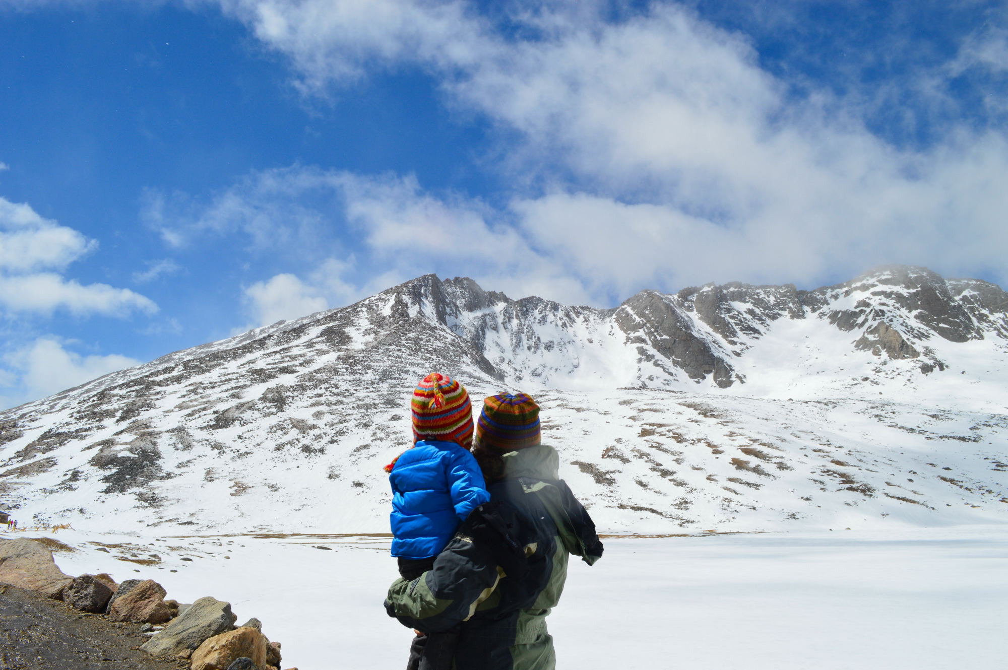
Most of the way up Mt. Evans, hoping the road to the summit will open for us
Once he started to show signs of exhaustion, we headed back to our car and watched as another car began ascending the road to the summit. The road had opened!!!

Mt. Evans Road – the highest paved road in North America
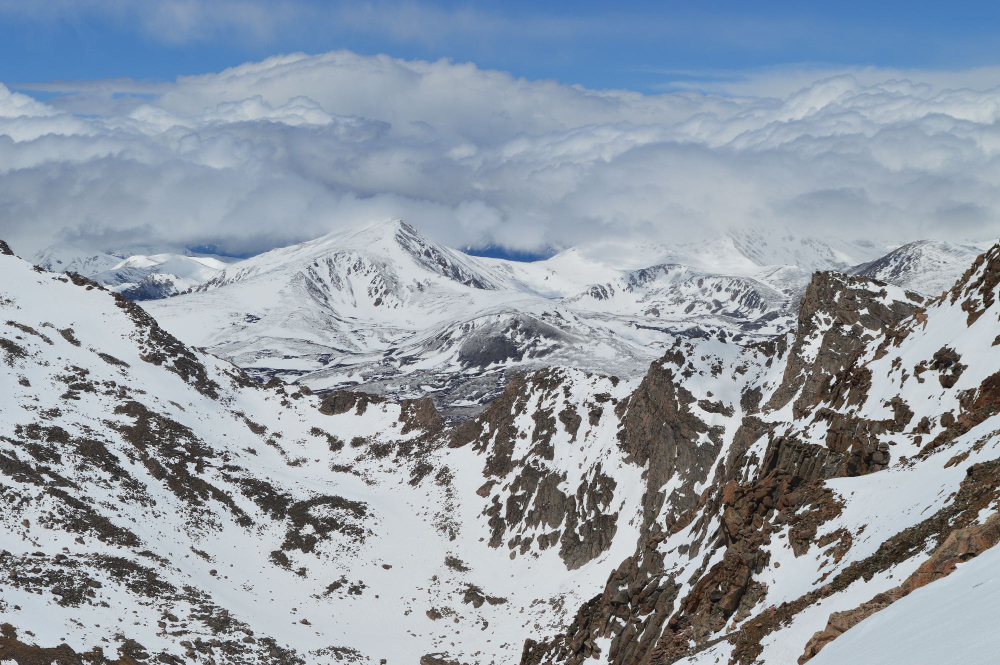
View from the summit
The temperature was reading in the twenties without the wind, and the wind was practically blowing us over. Needless to say, we didn’t subject Van to the cold wind (we don’t want him to hate us too much), but we both took turns exploring the summit. While most of our drive was into the clouds, some of the clouds began to clear as we were at the summit. Instead of viewing the Rockies from afar, here we were, in the mountains!
On our way back down from the summit, we stopped at Echo Lake for a picnic lunch amidst the pines and a short walk around the lake. While this isn’t as exciting as hiking to an alpine lake, it was a perfect spot to stop and enjoy the fresh (albeit thin) air and the local wildlife. Apparently, we brought some wildlife of our own along for the day.

Echo Lake

Our lunch companion at Echo Lake

Yes, he’s a lion…

and a cutie pie…

with an extra helping of sass.
A few days after our trip to Mt. Evans, we set out to explore the town of Evergreen. We spent much of the day hiking at several of the many county parks in the area. This would be an amazing place to live if you’re into hiking or mountain biking. We were incredibly impressed by the number and quality of parks in the area. You’d never be bored!
One of the charms of not having GPS or regular data access on our phone is that we have to use maps and intuition to find our way. When the maps are incorrect or woefully inadequate, we wind up in some new and exciting places. The photo below is taken along one of the roads we incorrectly but oh-so-happily drove down in our quest to find yet another park in Evergreen. Now if only that could be our view from our (currently non-existent) front porch.
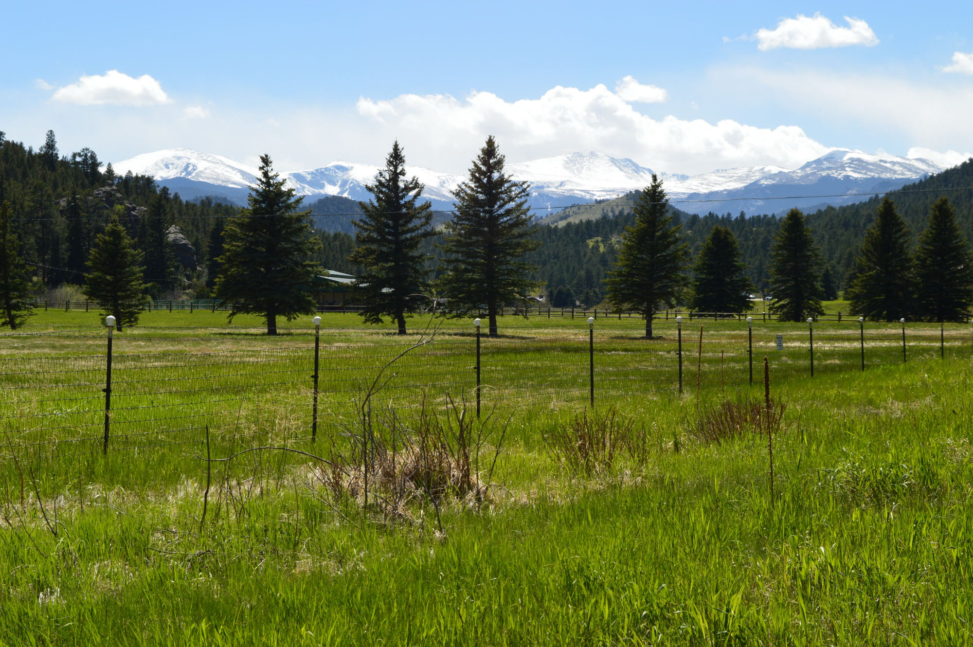
Views in Evergreen