The Bottling Process: Route Planning

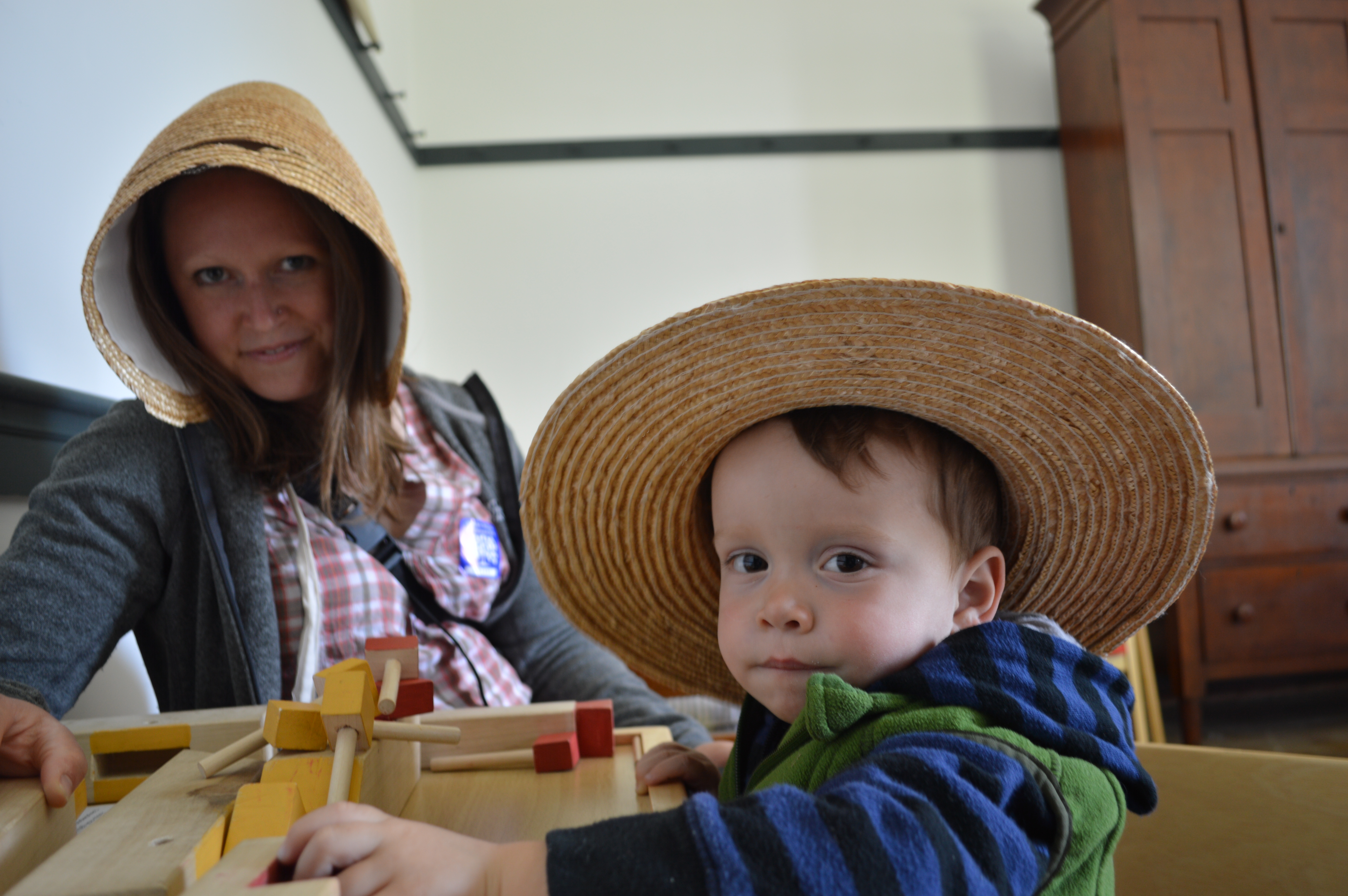
Over the past several months, several of you have asked me for more details about the logistics of our travels.  This is the first post in an ongoing series about how we travel.  If there’s something you want to know more about, feel free to leave me a comment and perhaps it will be a topic for a future Bottling Process post. 

We spent months and months and months planning before we ever packed up our van and left our former home.  Much of that planning was related to the logistics associated with quitting a job (yikes!), packing and storing all of our belongings, financing a trip of this magnitude, and transitioning to a nomadic lifestyle.  Though I’m trying to be more spontaneous, we did have to start thinking about route planning.  While we did not leave Maryland with a fully developed route, we did have a general sense of our route and a fairly detailed list of places we wanted to check out in the first few states we planned to visit.  While this was partly due to the fact that we just didn’t have the time to do more, we also wanted the trip to develop naturally – to spend a little more time in places we really loved and to spend less in places that didn’t call to us.  Since we are camping, our travels are very weather dependent.  By remaining flexible, we can reroute ourselves to meet better camping weather and circumvent places that might be better visited at a warmer or cooler time of year.  Given our van predicament (the fact that we no longer own one), lack of detailed plan was a good plan!  Without further ado, here is how we approach the planning process.

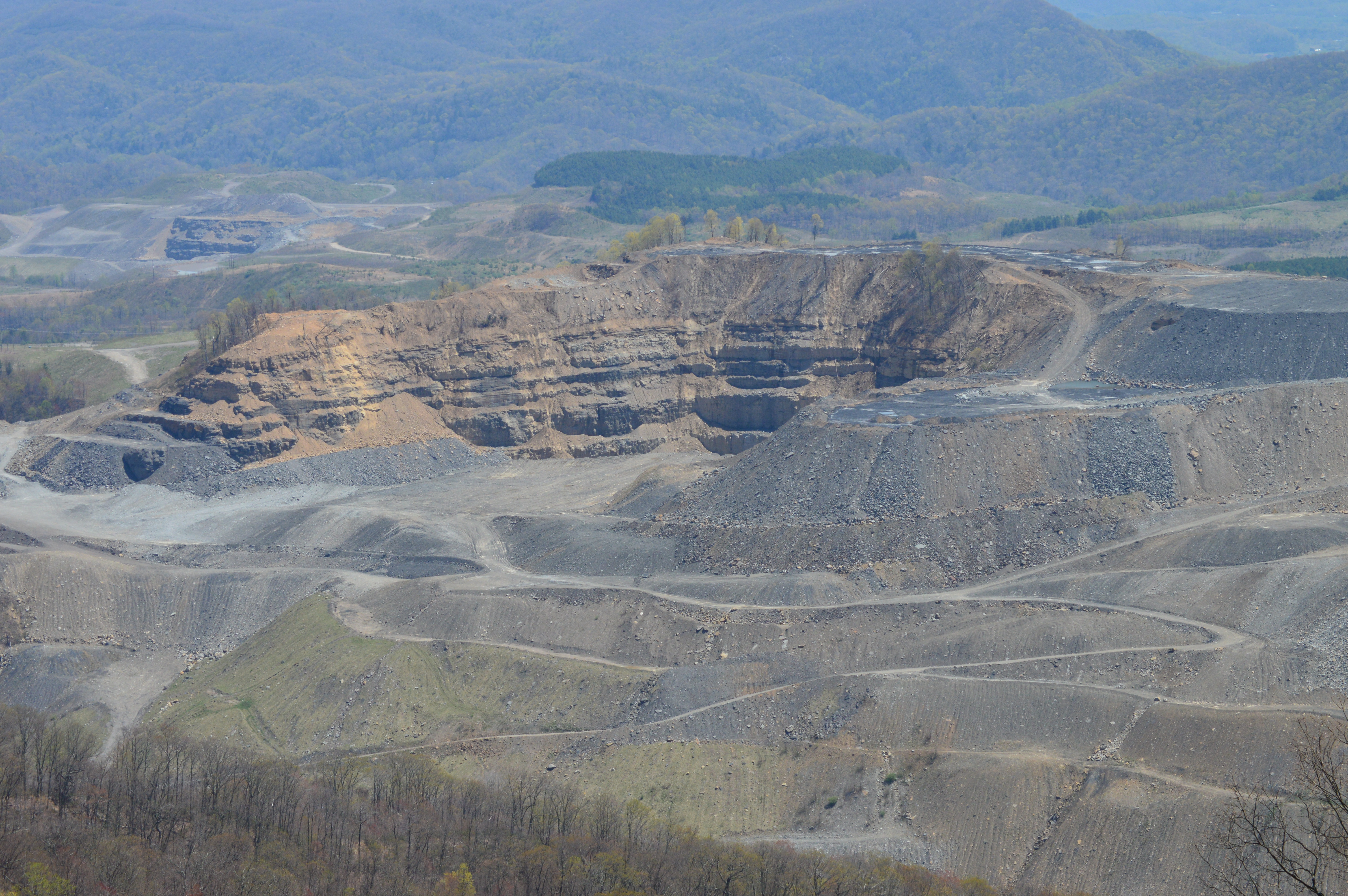
  • Long before we left, we spent hours and days looking at the map, talking about places we’d like to visit, and coming up with the regions we’d like to visit and the best times of year to visit them.  We made a loose route for ourselves through certain states and regions, estimating when we’d be there given our likely speed of travel.  Unfortunately, this did not allow us to visit all of the regions and states that we’re interested in visiting.  Given that we both like cold weather climates, there were a number of northern states we wanted to visit, but only so much warmish weather in which to do it.  Should we be up for living on the road again next summer, then we’ll have the chance to hit some of the additional places we’d like to visit (northern Minnesota, Wisconsin, and Michigan, to name a few).
  • Once we had a general sense of our route for the first six months, we divided it into two legs.  Pre-Colorado and Post-Colorado.  The pre-Colorado portion was also supposed to include Oklahoma and New Mexico, but those will be saved for a later day.  Once we had a list of our Pre-Colorado states, we went to our local library and checked out tons of travel books on those states (Virginia, North Carolina, Tennessee, Kentucky, Arkansas, Oklahoma, and New Mexico).  We both pored through the books, tabbing the towns and sites that looked interesting.  We then went through and compiled lists for each state in a word document.  We divided each state into regions and listed the towns, parks, and sites that looked most interesting to us.  We also added recommendations from friends and any other recommendations we came cross.  Before we left Maryland, this was the extent of our planning.  The only travel books we took were the free AAA books, which are not really great travel  planners but helped us when we’d come across towns we knew nothing about, and Road Food, a great book given to us be even better friends.
  • Now that we are on the road, we have a mapping session just before we enter a new state.  We sit down with the list, our National Geographic atlas, a highlighter, post-it notes, and a pen.  We highlight every town and site that is listed on the map.  We then write down on post-its more detailed lists of information for the towns or cities with several places we’d like to visit.  Once we have a good picture of where everything is located, we start figuring out a general route through the state.  Not every highlighted place makes the cut, but we’re able to use the map to prioritize the areas that have a higher concentration of places we want to visit.
  • Once we have a sense of our route and the places we want to visit, we then look up addresses and directions, if necessary.  We do not travel with a GPS and we only use the data on my phone (our only phone) when we have access to wi-fi or in emergency situations, which is not all that often.  This means that we travel using old-fashioned maps with ample time to get lost and found again.  More on this in a future post.
  • Now that we’re in Colorado, we’re busy reading library books on the second leg of our journey.  My goal is to do most of the mapping that we used to do just before we entered a new state before we leave Colorado.  This should make our travels a little easier down the road.  This type of mapping is best done with an internet connection and a lot of time.  We don’t usually have both at the same time, so my goal is to take the opportunity to do this in the evenings while we’re staying with family.  We just finished mapping out the parts of Colorado that we haven’t yet visited on our recent day trips.  Now I suppose it’s time for me to move on to the other stack of library books I have in front of me for Montana, Idaho, and the Pacific Northwest!

The Love Affair Continues

After a drive through the lush, beautiful countryside around Lexington, we spent a long afternoon at the Shaker Village at Pleasant Hill.  This is the largest restored Shaker Village in the country and one of the places Alan and I were most excited to visit.  We would have liked to have spent all day, but little boys have a way of falling asleep at the most inopportune times.  Though, I should really never complain that he continues to take his naps while on the road.  We spent the afternoon visiting farm animals, visiting with a number of craftsmen and women, listening (and dancing) to beautiful Shaker hymns in the central meetinghouse, trying on hats, and repeatedly marveling at the Shakers’ craftsmanship.

DSC_1141 DSC_0012 DSC_0198 DSC_0226

We came across many towns with historic buildings and downtowns during our brief visit to Kentucky.  While some were on the touristy side, others were not.  Both types were beautifully maintained and clearly well-loved by the local citizens.  Our favorite was probably Harrodsburg, partly because it was a surprise that we came across on our journey to the Shaker Village.

After spending a day wandering amongst beautiful buildings and wide open space, we spent a day in Louisville.  Highlights included trying chess pie for the first time and walking right down to the track at Churchill Downs.  When we arrived at Churchill Downs, it appeared that we wouldn’t be able to get in except to visit the museum.  We inquired at the main office and after letting us know that it was very unlikely we would be able to see the track (the Derby was just a few days away and everyone was in last-minute preparation mode), they recommended that we try at Gate 17, the site of simulcast betting.  We found our way around to Gate 17 and found that the doors from the betting areas were unlocked to the track.  We walked right on down to the track, standing in the area where the winning horse poses after the derby.  We could have walked right onto the track, but using our better judgment, chose not to.  We had to hold on tight to Van or he would have run directly on to the groomed track.  It was quite an experience!

Secrets at the track

Secrets at the track

Just days away from the Kentucky Derby

Just days away from the Kentucky Derby

We rounded out the week with a visit to Bardstown and the fascinating (and free) Oscar Getz Museum of Whiskey History (definitely a must-see if you’re at all interested in whiskey and find yourself in Bardstown), Lincoln’s birthplace in Hodgenville, Lincoln’s childhood home on Knob Creek, the Maker’s Mark distillery, Red River Gorge, and Mammoth Cave.  I could write a post on each of these, but my personal highlight was Red River Gorge.  This was a place that I was embarrassingly unaware of until several fellow MMM readers (Mr. Money Mustache to the uninitiated) recommended it to me when they heard of our travel plans.  It is a magnet for climbers, but there is so much to offer mere hikers like ourselves.

We began our day at the Natural Bridge State Park, hiking our way up to and on top of an impressive sandstone arch.  Van was in for a special treat because there was a group of AmeriCorps volunteers at the park doing trail maintenance.  They were carrying large logs assembly-line style up the trail.  Van had the opportunity to yell out “more log, more log” over and over each time we saw another exhausted volunteer.  Hopefully his cheers of encouragement added a little pep to their step.  After a picnic lunch consisting of sardines, crackers, and fruit, we made our way to the Red River Gorge Geological Area.  We hadn’t done much reading about the area before we visited, so we were taken by surprise when we reached the Nada Tunnel.  This is a 900-foot unlit single-lane tunnel.  It is like no tunnel I have ever experienced.  Van and Alan had to suffer listening to me exclaim over and over about how crazy and incredible and awesome it was to drive through the tunnel.  If you have trouble being mindful of the present moment, I implore you to drive through this tunnel.

The tunnel aside, Red River Gorge is beautiful, wild, and lush.  It’s the kind of place that takes only minutes to transport me back to my essential self.  There are not many places that have had the power to transport me so quickly, but this is certainly one and one I hope to return to when Van is old enough to float, climb, and hike it with us.

DSC_0484 DSC_0501 DSC_0516

Kentucky, where have you been my whole life?

About a month ago, and before we had van troubles, we had an amazing week in Kentucky.  We didn’t have too many preconceived notions about the state, but we were blown away again and again.  The beauty, the kindness, the sheer number of interesting things to do and see, the work ethic, we could go on and on.  It’s become a bit of a joke between us.  Every time we go somewhere and find that someone is not that friendly or that service is not that good, we look at each other and say that we’re not in Kentucky anymore.  A week was barely enough to scrape the surface.  We’re both looking forward to going back in the future and spending much more time so that we can further explore some of the areas we visited and check out the many areas we weren’t able to see.

We spent our first full day in Kentucky in coal country.  Based on the recommendation of some friends in the know, we checked out a couple of coal camps (Benham and Lynch to be specific).  We also spent a good portion of the day driving some narrow, twisty, mountain roads to see amazing scenery, small towns, and evidence of coal mining operations.  Appalachia fascinates me.  Coal mining fascinates me.  This was easily one of my favorite days of the trip.  I also asked said friends in the know to direct us to evidence of mountaintop removal mining.  I had no idea what I was in for.  I expected to see this type of mining and be moved.  I did not realize how improperly named (or rather, nicknamed) this type of mining is.  It should really just be called mountain removal mining.  Mountaintop removal assumes that much of the mountain remains.  While this may happen in some cases, this certainly doesn’t happen in all cases.  I was blown away.  Thanks, Sarah and Tom for the great recommendations!

The Depot in Lynch, Kentucky

The Depot in Lynch, Kentucky

Portal 31 in Lynch, Kentucky

Portal 31 in Lynch, Kentucky

Coal

Coal

View into Virginia from Black Mountain, the highest point in Kentucky

View into Virginia from Black Mountain, the highest point in Kentucky

Closer view into Virginia from Black Mountain, the highest point in Kentucky

Closer view into Virginia from Black Mountain, the highest point in Kentucky

In our short time in the area, we began to gain a better appreciation of the social impacts and importance of coal mining to this region and the devastating environmental effects.  It made me think more about our role (because we all have a role) in this environmental destruction.  It also reinforced why local citizens are often such fierce proponents of coal – it is life here.  I came away from this day wanting to dive even deeper into the social and environmental history of coal mining in this region.  This is going on the top of my list of things to research and read about after our trip.

We spent the night at the nicest Red Roof Inn, probably in the history of man.  It was worth at least two or three times the $46 we paid for the night.  While we typically camp each night, we’ve been spending every fifth or sixth night in a motel.  Most have been around this same price point and nowhere (not even close) as nice as this motel.  And everyone we met who worked there were the most genuinely friendly and competent hotel clerks ever.  And thus continues our love affair with Kentucky.

When we awoke, the rain was coming down hard.  We decided to drive up to Lexington and spend the day at the Explorium, the local children’s museum.   Even through the gray and rain, we fell in love again.  And Van had a blast at the museum.  Though the horse exhibits were the most fun for us, he loved the “lala boat” (water boat).

My first horse ride

My first horse ride

Nothing is better than playing in water

Nothing is better than playing in water

Trapped in a bubble!

Trapped in a bubble!

I particularly enjoyed the exhibit about homes around the world.  I would have loved playing in the various homes when I was a child.  But then, a seemingly out-of-place panel caught my eye.  It was a panel dedicated to explaining that not everyone has a home.  The portion below made me smile to myself.  It was the part of this exhibit that explained our housing situation, except not at all.  While we may be living in a vehicle, we are not homeless and would never consider ourselves as such.  But, living in a car with fewer necessities does help me to empathize a bit more than I did before our trip with our homeless brothers and sisters who have no choice but to live in a vehicle.

Exhibit in the Explorium of Lexington

Exhibit in the Explorium of Lexington

Continuing our theme of being impressed with all that exists in Kentucky, we made our way to a beautiful and incredibly well maintained campground in Taylorsville Lake State Park.  Well situated between Lexington and Louisville, this became our home base for the next six nights.

Our campsite in Taylorsville Lake State Park

Our campsite in Taylorsville Lake State Park

And We Move On…

Apologies for the radio silence over the past week.  We’ve been enjoying time with family, running tons of errands, and reassessing our next steps.  The sale of our inoperable van was final as of this morning and our wagon is now topped with a Yakima car box.  While it’s sad to think that we will not be traveling as we had planned, we are moving forward.  I’ve already moved past it and am looking forward to the challenge of squeezing the three of us and all of our camping equipment and belongings (including a stroller, pack and play, and backpack carrier) into our wagon.

In between outings with the grandparents and spending time in the beautiful Colorado sunshine, we’ve been cleaning and organizing all of our equipment and culling our already limited belongings.  There is certainly a lesson in this about how little you actually need.  Rather than feeling stressful, it’s actually been freeing to winnow our belongings to the basic necessities (and a couple of extras here and there).  I plan to carry this lesson beyond our travels into our more settled life.

I leave you with a few words from the book I’m currently reading.

I had three pieces of limestone on my desk, but I was terrified to find that they required to be dusted daily, when the furniture of my mind was all undusted still, and threw them out the window in disgust.

– Henry David Thoreau, Walden

Regrouping

After a wonderful week in northwest Arkansas with my parents, we made the long drive to Colorado yesterday.  We were on the road for just over twelve hours straight (Arkansas to Missouri to Kansas, Kansas, and more Kansas to Colorado), which is a record for our little guy.  He was fantastic, we really did win the kid lottery!  We are now safe and sound with Alan’s family and are in the process of cleaning, reorganizing, and regrouping.  We’ll likely be here off and on for the next several weeks (at least) to see family and friends, but we’ll also be hitting the road for several shorter camping trips to various corners of the state that we’d like to check out.  In the process, we’ll be figuring out how and where we’re going to travel going forward and put those preparations into action.  As some of you may know, we wound up having to skip over several states we wanted to visit due to our van troubles.  We’re not sure if we’ll be visiting the those places after we leave Colorado, or if we’re going to leave them for later in the trip.  I imagine that after a visit to the local library and several evenings spent poring over travel books and we’ll have a better sense of where we’re headed next.  In the mean time, we should be more accessible, and if you’re reading this from Colorado, we’d love to see you while we’re here!